

















Why a Cadastral Survey Is the Foundation of Secure Land Ownership
In land management, two things matter above everything else: accuracy and clarity. A cadastral survey provides both. It establishes exactly where a parcel begins and ends, who holds rights over it, and how it fits into the wider land record. Here is why it matters to anyone who owns, buys, develops or administers land in Ghana.
What a cadastral survey is
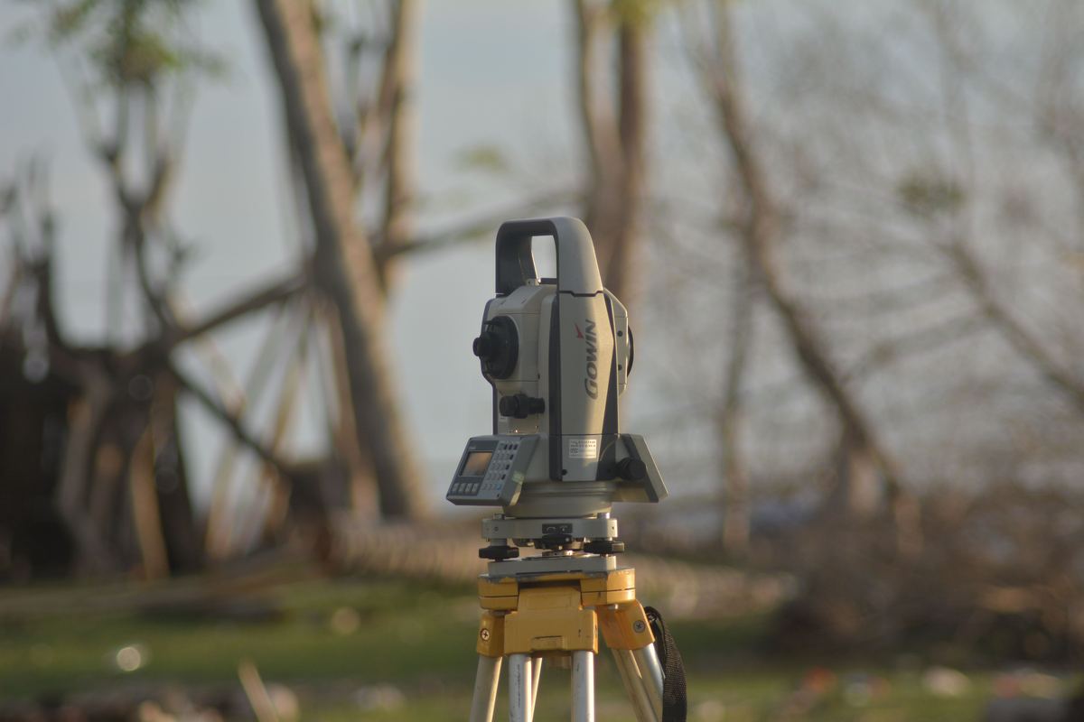
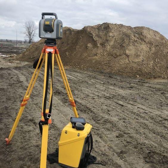
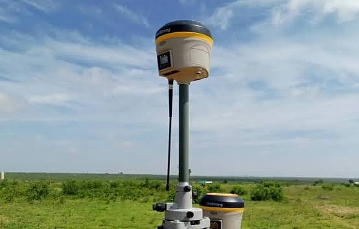
A cadastral survey is the detailed measurement and mapping of a land parcel: its boundaries, dimensions, beacons and its relationship to neighbouring parcels and the national grid. Our surveyors use GNSS receivers and total stations to fix each corner to centimetre accuracy, then produce a site plan and beacon schedule that becomes the official record of that parcel. That plan is what the Lands Commission relies on when your interest in the land is registered.
Clear ownership and defensible boundaries
Most land disputes begin with an uncertain boundary. A cadastral survey removes the ambiguity by placing physical pillars at every corner and recording their coordinates. Owners, buyers and the courts can all refer to the same verified line, which makes it far harder for a boundary to be contested or quietly shifted over time.
A basis for planning and administration
District assemblies, planning authorities and utility providers depend on cadastral data to make decisions about zoning, road reservations, infrastructure routes and property rates. Accurate parcel records let them allocate resources and enforce regulations fairly. Without them, planning is guesswork.
Confidence in real estate transactions
When land changes hands, both sides need proof that the parcel on paper matches the parcel on the ground. A survey confirms the true area, exposes overlaps with registered plots, and gives buyers the assurance that what they are paying for is what they will receive. For sellers it builds trust and shortens negotiations.
Safer development and construction
Architects, engineers and contractors design within the surveyed boundary and set out from the surveyed control. A cadastral survey, often combined with a topographic survey, reveals encroachments, existing services, drainage lines and access constraints before any design work begins, so projects are built legally and without costly rework.
Managing land and natural resources
Accurately mapped parcels also support agriculture, forestry and environmental work. Farm estates, concessions and conservation areas can be managed, leased, financed and monitored with confidence when their extents are properly surveyed.
What to ask for
Insist on a site plan referenced to the national grid, a beacon schedule with coordinates, physical pillars at every corner, and a search that reconciles the parcel against Lands Commission records. Under the Land Act, 2020 (Act 1036), registration is what secures your interest, and registration starts with an accurate survey.
Zenith carries out cadastral and title surveys across the Ashanti Region and nationwide. Talk to us before you sign.